Maximilian´s Way
Maximiliansweg E4 (on the European long-distance hiking trail stage 4): A royal journey from Lake Constance to Berchtesgaden
This long-distance hiking trail is named after King Maximilian II of Bavaria, who made this journey through the Bavarian Alps in the summer of 1858. According to his companion Friedrich von Bodenstedt, "His Majesty was in a good mood, as almost always with the invigorating breath of the mountains!"
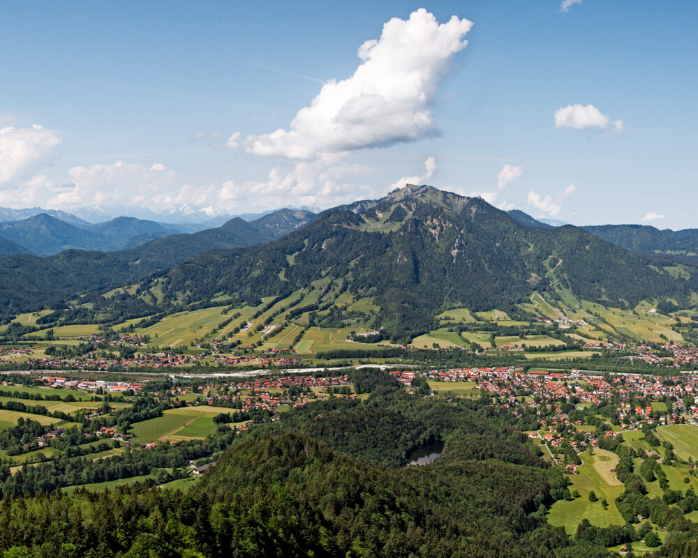
One of the scenic highlights of the Maximiliansweg is the stage from the Tutzinger Hütte (Benediktbeuern) over the partly spectacular ridge with the Benediktenwand over the Brauneck to Lenggries. At Brauneck, many huts and alpine pastures invite you to stop and enjoy a wonderful panoramic view.
Length/duration: 11 km, approx. 5 hours., approx. 500 m in the ascent, approx. 1,000 m in the descent
Difficulty: The narrow, partly alpine trail is often rough. Stepping resistance should be provided. In wet conditions this stage can become very dangerous due to slippery stones!
After an overnight stay in Lenggries, the next stage starts from Lenggries via the Geierstein and Fockenstein and the Aueralm to Tegernsee. A very popular mountain tour of our holiday guests.
Length/duration: 14 km, approx. 6 hours (without boat trip), 900 m ascent, 850 m downhill
Difficulty: A lot of uphill course, fitness required. In wet weather, the two peaks of Geierstein and Fockenstein should be avoided because of the risk of slipping.
For more information click here: www.maximiliansweg.de


