
Deadlines, work stress or the madness of daily life, it's easy to forget yourself, you move less and always postpone the well-deserved time out until the next holiday.
With our hiking tour, based on the motto "If not now, when else?", we want to send you on an experience far away from the stress of everyday life. We want to remind you, that it doesn't take thousands of kilometers, because the most beautiful places do not always have to be far away.
Whether it is about discovering nature or exploring history - our tour combines enriching herbal & plant knowledge with historical facts.
Decorated by legendary tales around Lenggries, which make the tour exciting and worth experiencing and let you dive into different periods of times.
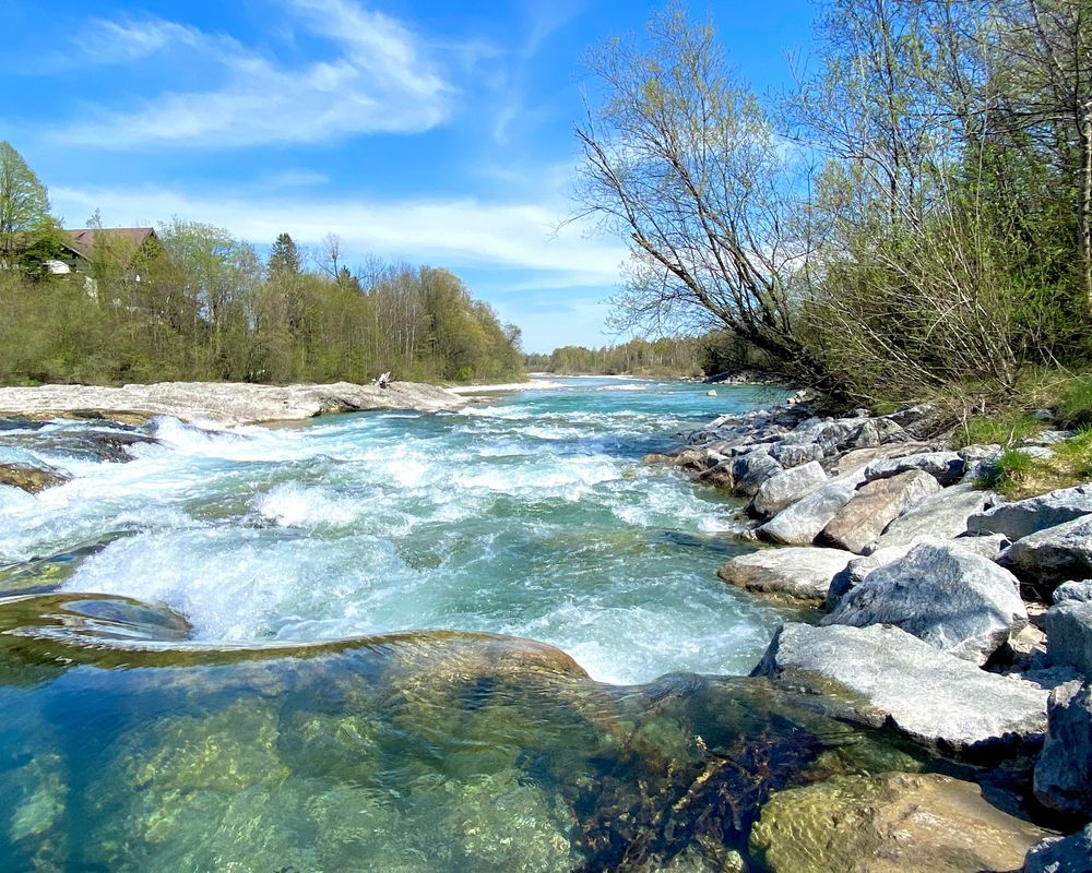
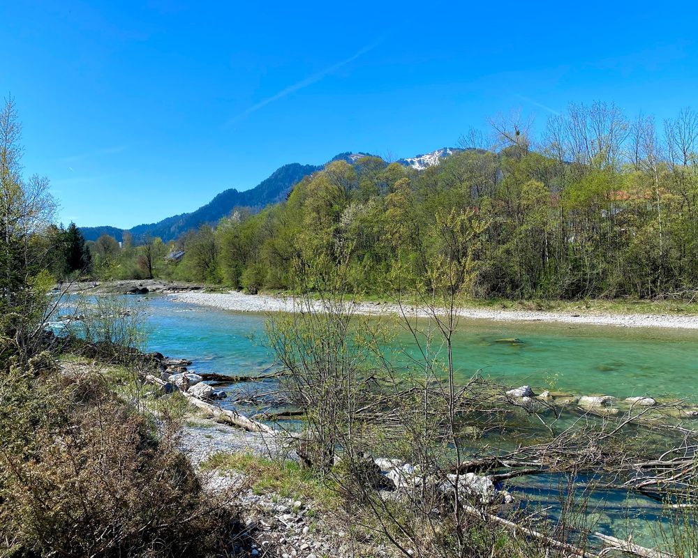
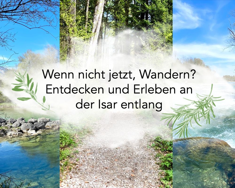
A faithful companion on this tour: the relaxing sound of the Isar.
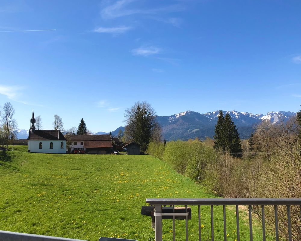
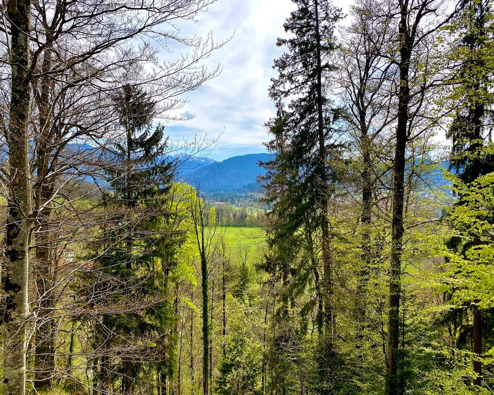
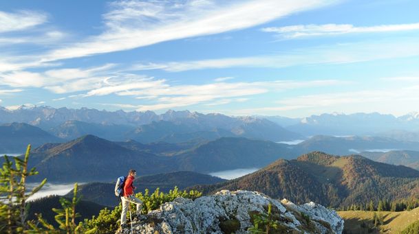
And don't worry, the tour is not just for the ears, but we think the fabulous views speak for themselves.
Streckenverlauf
Impressionen
Directions:
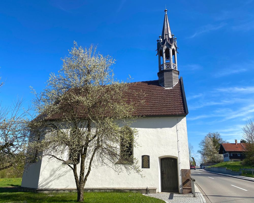
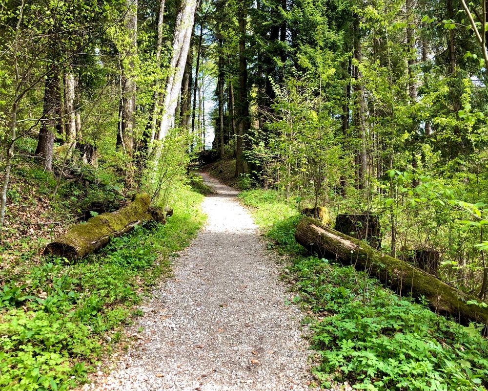
- The starting point of the tour is the train station in Gaißach. After getting off the train, turn right towards Wettl until you reach a crossroad where you turn right and go through a tunnel. Follow the road for approx. 1.2 km until you reach a junction, where you take the path on the right. Follow this path. After about 200 m you turn slightly right again. After passing a few houses, you should follow a path that runs next to a small stream. This track goes for about 1 km until you have to turn sharp left and go uphill until you reach a bridge. From there, you will see the Puchen Chapel on your right.
- After exploring the chapel, you can go back down the hill and rejoin the forest trail. The trail ends in an inhabited area. Here it is important to not disturb the residents. After about 1 km you will come to a subway that looks like a tube. If you go through it, you will reach the Isarweg. The Isarweg to Lenggries is about 5 km long. It is important to note that walking onto the Isar islands is not permitted, as this is a protected landscape area. #Natureconservationbeginswithyou
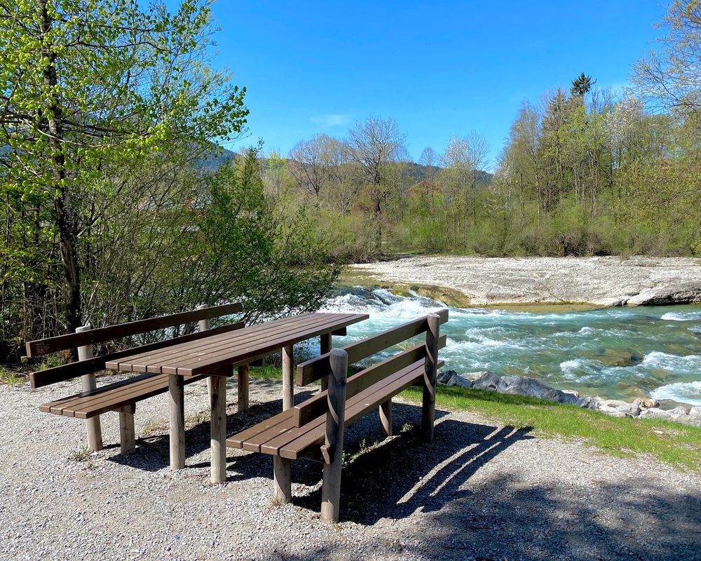
- At the next junction, continue towards Mitterwald. In between, you have several nice seating areas with tables, perfect for a quick pause and a snack.
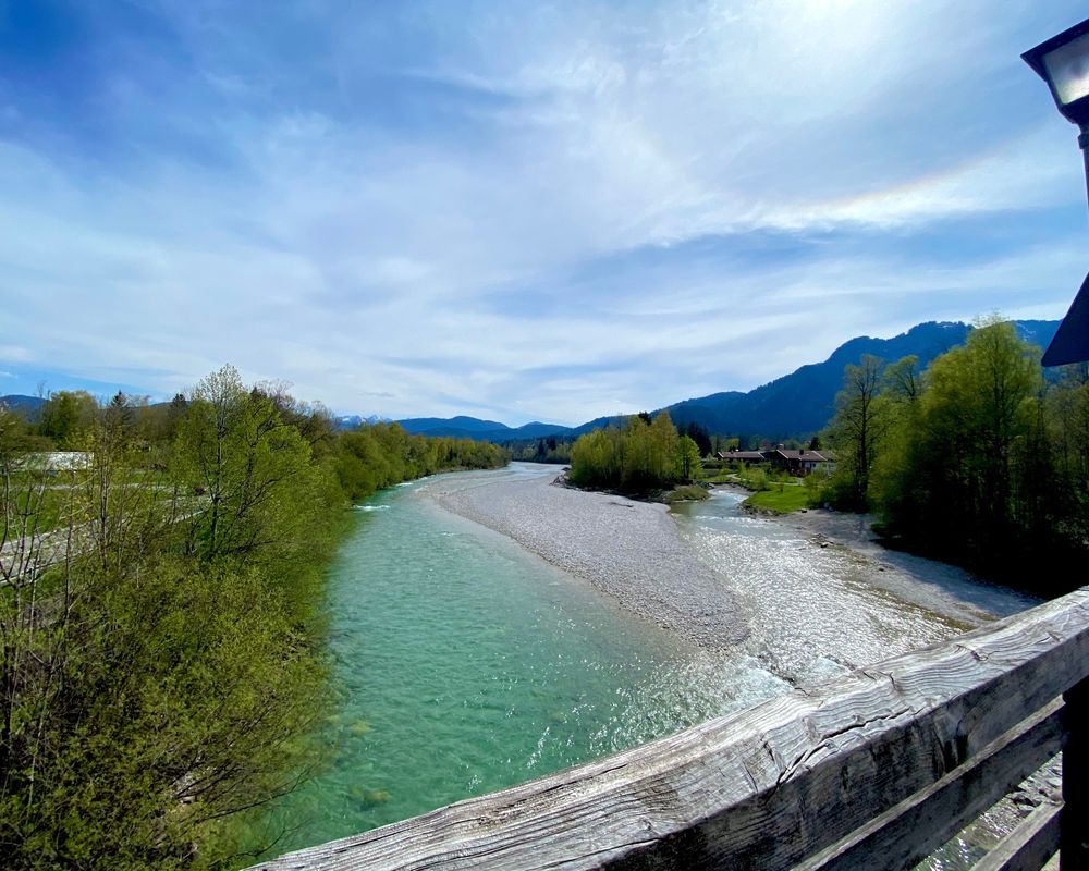
- You will then reach a staircase leading to a bridge, which you have to follow to reach the centre of Lenggries. At the entrance to the village, turn right and you will find yourself in front of the Kräuterhexe (herb witch).
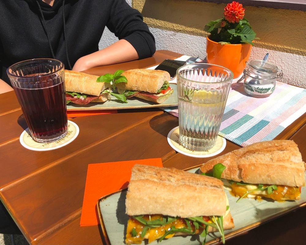
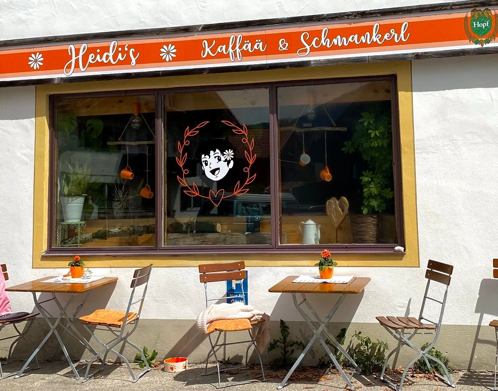
- After your visit to the Kräuterhexe (herb witch), walk a little bit into town (towards the church) and turn left once, and you will reach Heidi's Kaffää und Schmanckerl, where you can have lunch or an afternoon coffee.
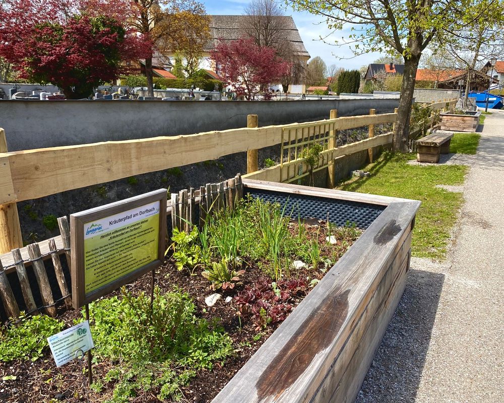
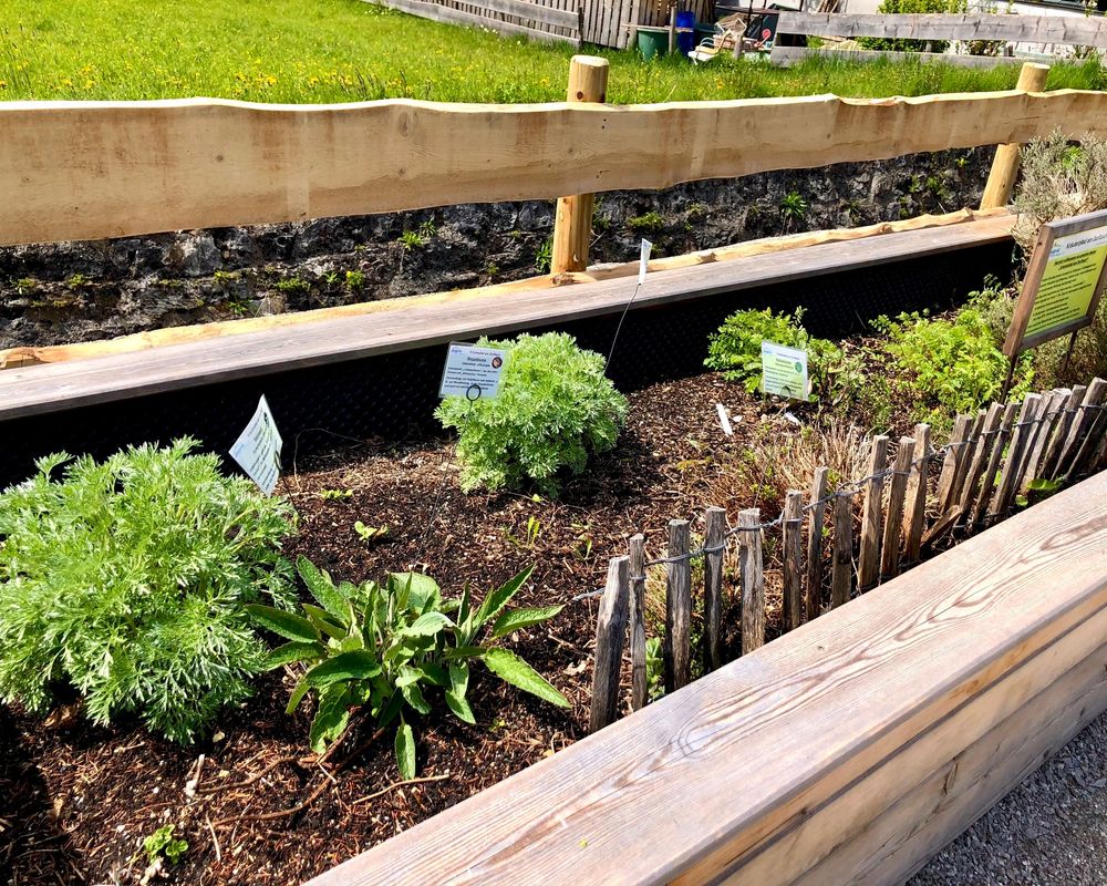
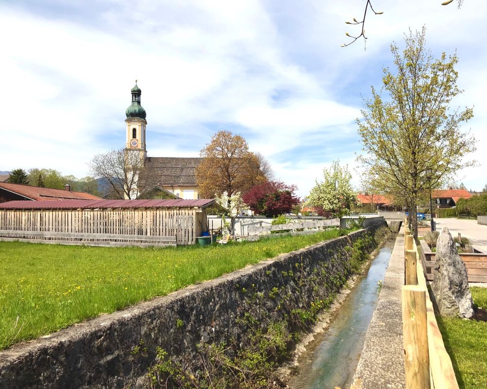
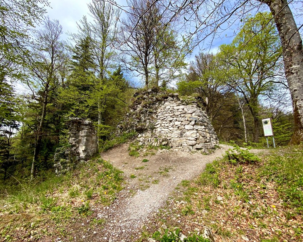
- Then continue to the herb patches by the village stream. To get there, walk directly towards the church, or past it, and then turn right along the Dorfbach. Follow the path along the village stream, which is parallel to the herb gardens.You are now on the path to the Hohenburg ruins. The path heads straight on through a residential area and narrow paths, some of which are only passable on foot or by bike. The path slightly goes uphill until you reach Hohenburg Castle, which is now used as a school building. At the castle, turn left, pass through an arch and you are already at the foot of the mountain. You will also find signs to help you find the way up to the ruin. The first stairway on the left is the right one. At the next junction, the middle path will lead you to your destination. There is a narrow and steep path all around the mountain up to the ruins. (Please take special care here!) Once you reach the top, you can enjoy the wide view of Lenggries.
- Follow the same path downhill again. After you have passed the Hohenburg Castle and gone back down the hill, you will come to a small crossroad, here you take the left path towards the Isar. After about 5 minutes you will come to a very narrow path that runs along a graveyard, follow this until you come to a road. Before a tunnel, turn slightly right and you will be back on the Isarweg. Walk along this path until you reach the stairs or bridge that leads to Lenggries. This time, turn left on the bridge to reach the other side of the Isar. There you turn right and soon come to the Kalkofen (lime oven), which is on the right side of the road.
- At last, cross the bridge again and turn right after the first crossroad. If you then follow the road, you will reach the Lenggries train station after about 5 minutes. From there you can take the Bavarian Regiobahn back home.
We hope that you had a wonderful day and that you were able to take away many positive things from this tour!
Have a good travel home!
For detailed schedules, please click here. #natureconservationstartswithyou
Sicherheitshinweise & Ausrüstung
- The route is also partly used by cyclists, which is why the ears should always be free.
- At the Hohenburg ruins the view inside is also shown on a sign located next to it.
- The way up to the ruins is a bit steeper, narrow and stony, which is why special caution is advised here.
- Solid and comfortable footwear
- Clothing suitable for the weather (layered clothing is always useful!)
- Sun or waterproof clothing if necessary
- Hiking backpack
- Snacks and something to drink

